AutoMine® Mapping Solution
AutoMine® Mapping Solution is the first solution from the next generation program at Sandvik. It brings together two of the next generation technologies to make one state-of-the-art solution to enhance mining operations.
Next generation automation solutions
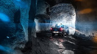
It is an innovative AutoMine® solution designed to maximize productivity and improve safety of autonomous vehicle navigation in underground mining operations by utilizing mapped data.
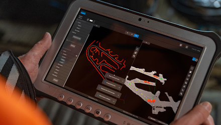
It enables a vehicle to map an automated underground environment with a 3D Mine Mapping Tool and then uses the information to generate 3D maps of the mine. The data can then be used by 2D underground equipment to operate safely during mining operations.
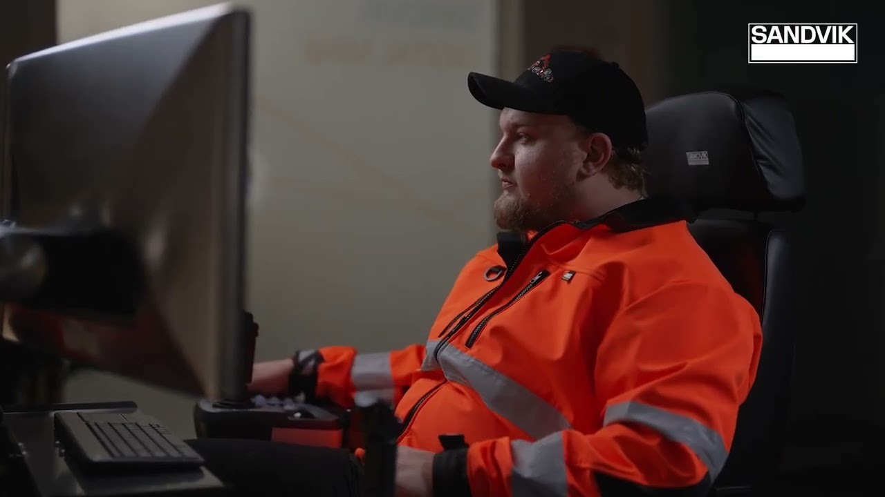
Productivity and efficiency is increased as a result of faster area configuration and continuous operation of equipment in the mapped area. It is a cost-effective and ease-of-use mining solution.
-
Technical data
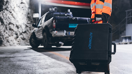
Main components 3D Lidar
• Mapping PC
• Cable set to connect to LV power supply
and ethernet to connect to a tablet
• Cable set to connect scanner to caseDimensions • Exterior (LxWxD)24.60 x 19.70 x 14.40cm
• Interior (LxWxD)62.5 x 50 x 36.6Weight 20.8kg Power Supply Voltage: 12 - 24VDC Maximum hole depth 53,6 m with up to 114 mm pipes Mounting To be mounted on any light vehicle Compatible Loader
ModelsLH410, LH410 Rock Breaker, LH514, LH515i,
LH517i, LH621iCompatible Truck
ModelsTH551i, TH663i Compatible Drill
ModelsDL421, DL422iE, DL432i,